![[Image: Benchmark]](img/ceaf19991124-11.jpg)
This continues the Thunderhead Mountain excursion.
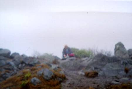
After the successful scaling of the summit at Thunderhead, Terry and I retreated into the mists toward Spence Field. At Rocky Top, we took a brief break [image]. It was still damp and chilly as we descended onto Spence Field.
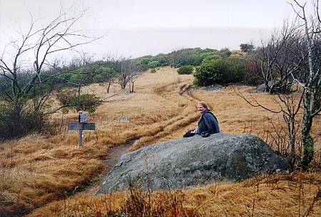
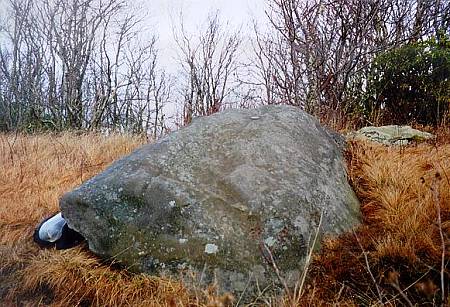
On the eastern edge of Spence Field is a trailhead, and at this crossing is the rock in which the benchmark rests [image] [image]. The marker is still in good shape.
We hiked back via Russell Field (better back that way than up, as it is quite steep).
These photos were taken approximately 1000 EST (1500Z).